LA CAB – LES DERNIERES ACTUS
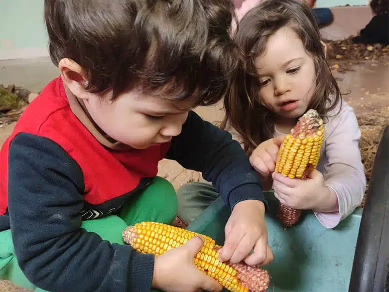
Crèche Bellegarde : Une pièce « nature » pleine de ressources à explorer !
Informations : Une salle de motricité transformée en « forêt des découvertes » c’est la proposition qu’a faite l’équipe de la crèche Bellegarde à une période où les enfants ont besoin de développer leurs potentialités de jeux,...
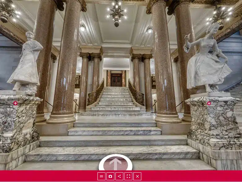
Micro-Folie de la CAB : Opéra Comique
Informations : Nouveauté à la Micro folie CAB, dès le 10 avril 2024. La Micro-Folie vous propose de visiter l’Opéra Comique,...
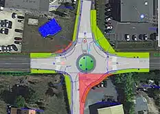
Prigonrieux : Création d’un giratoire sur la route départementale 32 au droit de la ZAE de Lanxade
Informations : Dans le cadre de son action pour le développement du territoire, la CAB a engagé la réalisation d’un carrefour...
Candidature saisonniers accueils de loisirs sans hébergement
Date limite d’inscription : 30 avril 2024 Pour postuler : avoir 17 ans révolu le BAFA et un profil animateur sont recommandés....

Il était une fois des familles
Rejoignez- nous pour partager vos expériences et questionnements en famille ! Et venez participer à « IL ETAIT UNE FOIS DES FAMILLES… » :...
AGENDA de la CAB


LES DERNIERES PUBLICATIONS
EN 1 CLIC
Actualité des travaux
Tous les travaux en cours ou à venir sur le territoire de la CAB.
Transports Urbains Bergeracois
Depuis le 12 décembre 2022, la CAB a étendu son réseau de bus !
La Véloroute Voie Verte en images
Découvrez la Véloroute Voie Verte V91 de la CAB en photos, en vidéo et son tracé !
Saison Culturelle au Centre Culturel Michel Manet
Une nouvelle saison 2023-2024 à découvrir de toute urgence
Micro-Folie de la CAB
Depuis le 1er décembre 2022, à Bergerac, le projet Micro-Folie s’installe à Quai Cyrano
Toute l’actu de l’Agglo sur sa page Facebook.
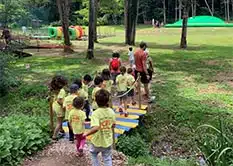
Petite enfance
L’accueil pour les enfants de 2,5 mois à 6 ans sur le territoire
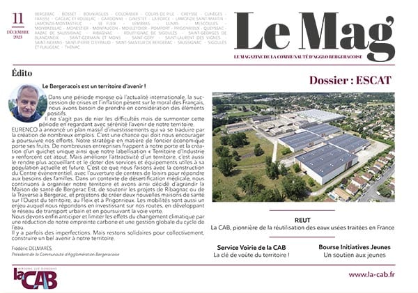
ESCAT
La reconversion du site de l’ESCAT